Stepping out of the dark
Over the past few decades’ advances in technology have been astounding. It seems everything’s turning “smart”, your watch now talks to you, your phone pays your bills and your car can park itself. We’ve swapped road maps for Satnavs, books for e-readers and even credit cards for digital wallets. The whole world is going digital and yet when it comes to marine navigation it feels as though sailors are somewhat left out of the race.
Thankfully there’s a young startup working to challenge the norm and change all of this. Founded by former Google Staff Engineer and avid sailor Jelte Liebrand, savvy navvy was created with a single goal, to build the best sailing navigation solution worldwide.
So how did savvy navvy come to fruition?
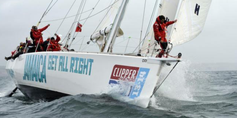
Having sailed all his life Jelte decided he wanted a bit more of a challenge and in 2014 found himself racing on a 70 ft. yacht in the middle of the Pacific in the Clipper Round the World Yacht Race. Heeled over at a forty-degree angle in high winds, slamming through massive waves, Jelte quickly realised that hanging on during rough weather, whilst trying to navigate, was far more challenging than it should be. As Jelte loves to say,
“The sailing and the tech world seem to have had a one night stand in the ’90s and they’ve not been on speaking terms since.”
Sailors require numerous sources to gather the information they need for navigation such as weather and chart information, tidal data, swells and marina details, just to name a few. Interfaces are clunky and out-dated and it’s easy to make a mistake. Jelte commented,
“Until we started savvy navvy there wasn’t a single marine navigation tool out there that combined all the information you need to navigate quickly and safely in one package”
So ease of use and simplicity seemed to be the driving force behind this young startups ambitions, making it possible to plan your route in a fraction of the time taken with traditional methods. Instead of using multiple apps you can now do everything in one place. Just like Google maps you can drop one pin for your start location and one for your finish point, savvy navvy will then calculate a safe route to sail taking into account real-time weather and chart data.
The team behind this startup have backgrounds in UX design, engineering, PR and Marketing from companies such as Google, TomTom, Amazon, BP and Nokia. And with over 10,000 sailors signed up, plotting more than 40,000 routes across the globe in 2018, savvy navvy is certainly catching on. If you’re a forward-thinking sailor looking to step out of the dark ages, this is certainly one to watch.
One thing’s for sure, there’s certainly room for improvement when it comes to the safety and efficiency of the marine navigation. Let’s hope more companies seek to up the technological game, create more competition and fight to be the best at keeping the task of navigation safe and convenient for sailors around the world.
Try the savvy navvy demo here.
“Awesome app! Can't wait to see more features being rolled out, but already a must-have for sailors!”
Kees Postma
(Circumnavigator, pro sailor, tech lover)
Happy sailing!